Planning cartography
The basis of spatial planning
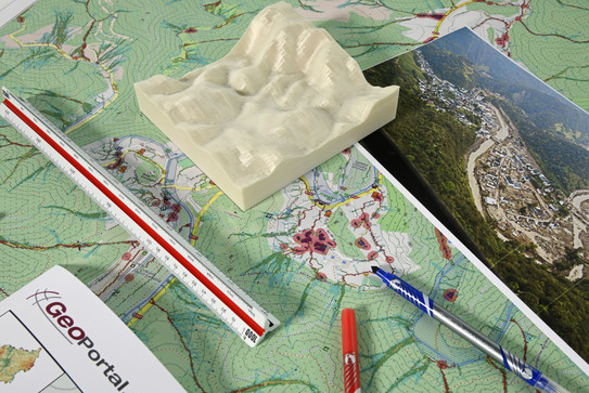
Spatial planning needs maps and maps are influenced by planning. Maps are not only the basis of spatial planning, but also play a central role in the analysis, conception, documentation and communication of spatial planning. The creation of maps in spatial planning is anything but trivial. In addition to technical questions of creation, normative decisions also play an important role. Planning cartography integrates graphic analysis and presentation methods of spatial planning, in particular GIS and CAD, into cartographic representations.
Learning objective
The main learning objective is to enable students to independently create thematic maps for spatial planning. The course Planning Cartography therefore deals with the representation of landscape models of future spatial structures in maps. Module 10.1 teaches the fundamentals of cartography, introduces students to municipal surveying and supports them in developing their own cartographic style for the production of thematic maps.
Module examination
Module 10.1 is completed in the form of a graded student research project (element 1). For this assignment, students have the task of creating a thematic map by analyzing and interpreting a planning issue and communicating it visually using suitable presentation methods.
Former final assignments
As preparation for the module evaluation, former final assignments can be accessed below (in German).
- M10.1 Aufgabenstellung 2022 Ersttermin PDF (136 KB)
- M10.1 Aufgabenstellung 2022 Zweittermin PDF (167 KB)
- M10.1 Aufgabenstellung 2023 Ersttermin PDF (853 KB)
- M10.1 Aufgabenstellung 2023 Zweittermin PDF (482 KB)

